Project Overview
Key Challenges
- Large product taxonomy: multiple regions, product types and model outputs (including WRF variants).
- Need for fast, personalized access — live weather and location-aware predictions on the homepage.
- Clear separation between global products (9 regions × 11 products), WRF model outputs, and India location forecasts (133+ predictions).
- Future-proofing: modular architecture to support upcoming Aviation Module and miscellaneous customer-specific datasets.
Proposed Solution (High-level)
CnEL India proposed a modular, user-centered information architecture and a phased delivery plan that converts WeaClim’s product breadth into a clean, navigable mobile experience. The structure is designed to minimize cognitive load and maximize quick access to the most relevant forecasts.
1. Primary Navigation
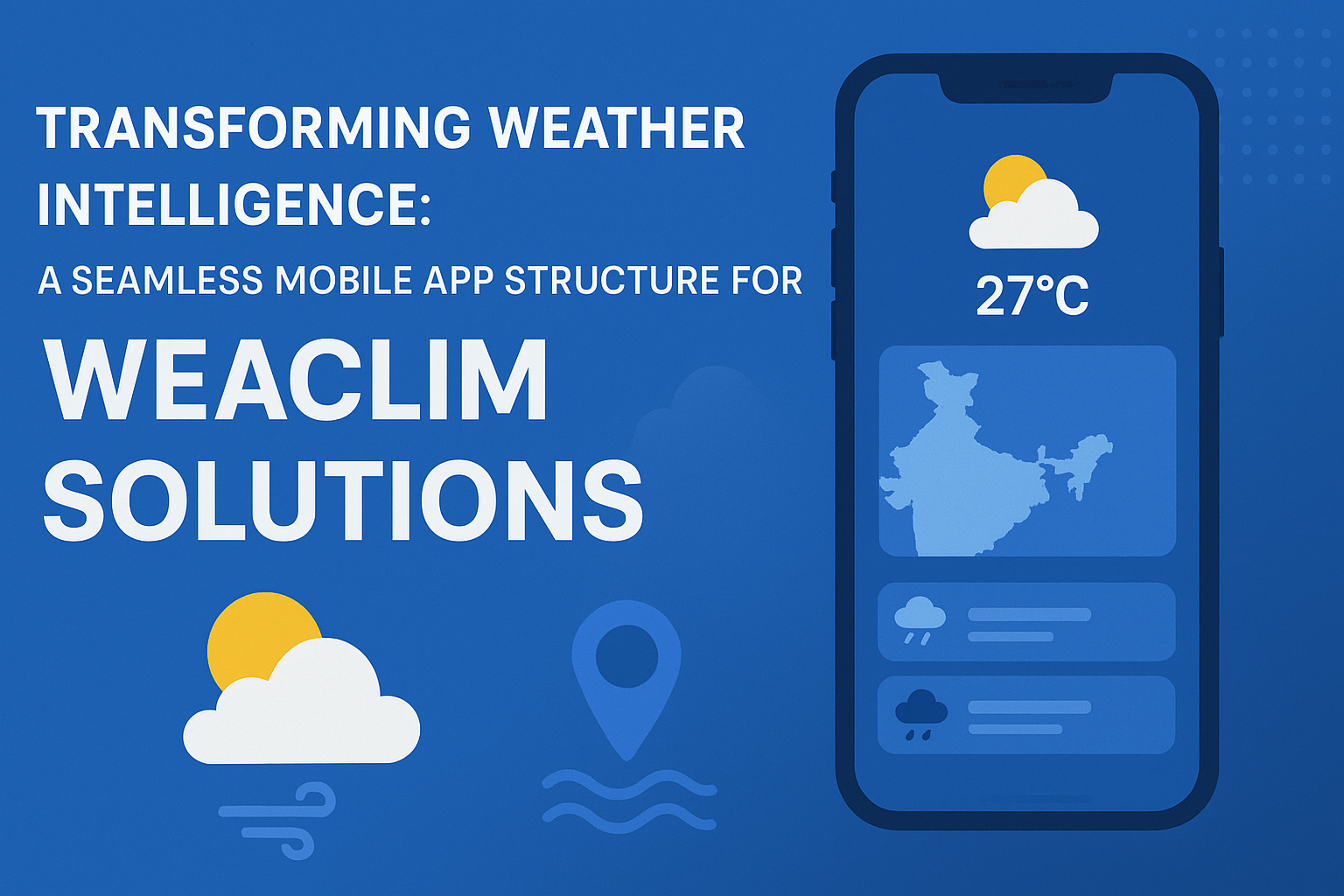
- Home (Live & Local): location-aware snapshot (current + short-term next 24–48hr). Quick access to live weather and local predictions based on the user’s device location.
- Global Forecasts: region-first experience (9 regions). Each region expands to reveal the 11 product types as selectable layers or product cards.
- India — Regional & Location-Specific: prominent placement for India with quick filters for State/UT, and a searchable list of the 133+ location forecasts.
- WRF Model Outputs: dedicated model section (WRF 27km short-range etc.) with product-specific playback and time-step controls.
- Aviation: reserved module placeholder (to be launched when finalized), integrated with model outputs and METAR/TAF where applicable.
- Misc / Customer Sets: flexible area for ad-hoc customer datasets and future additions.
2. Product Layering & Presentation
Each product (e.g., Rainfall 24hrs, Clouds 2hrs, Winds at 200/500/700/850 hPa, MSLP, Max/Min Temp, etc.) is represented as a reusable “product card” consisting of:
- Thumbnail (animated gif or small loop for quick visual cue)
- Product name and short description
- Model source & timestamp
- Controls: time-slider, play/pause, opacity (for overlays), and download/share
3. Search & Filters
Robust search that supports region, product type, model source, and specific location names. Filters include:
- Region (Africa, Australia, East Asia, Eurasia, Europe, India, North America, South America, World)
- Product (Rainfall, Clouds, Winds at multiple levels, MSLP, Max/Min Temp, etc.)
- Model (WRF 27km — short range, other model sources)
- Time-range & data freshness
4. Homepage — Live & Personalized
The homepage is optimized for rapid situational awareness:
- Top card: Live location snapshot (auto-detected with quick permission controls)
- Quick toggles: Today / Next 24hrs / 3-day overview
- Favorites: users can pin regions, products, or locations for one-tap access
Technical Architecture (Summary)
A lightweight hybrid approach for performance and offline resilience:
- Frontend: React Native or Flutter (single codebase for Android & iOS) with native modules only where necessary for location and performance-sensitive rendering.
- Backend: Restful APIs / GraphQL to serve products, with CDN-backed raster/tiles and optionally vector tiles for overlays.
- Data & Models: Time-series product store, WRF outputs managed via object storage (S3-compatible) and cached tiles for fast retrieval.
- Realtime & Push: WebSocket or MQTT for live alerts, and push notifications for critical weather advisories.
- Analytics & Monitoring: Usage metrics, product access heatmaps, and error telemetry to inform product and UX improvements.
Implementation Roadmap (Phased)
- Phase 1 — Foundation: Core navigation, Home live-location snapshot, Global & India region pages, product card UI, search & filters.
- Phase 2 — Models & Playback: WRF integration, time-slider, playback controls, caching strategy.
- Phase 3 — Location Forecasts: India 133+ location pages, state/UT filters, favorites & user profiles.
- Phase 4 — Aviation & Misc: Aviation module launch, custom customer data sets, advanced sharing & export features.
- Phase 5 — Optimization & Scale: Performance tuning, offline mode, A/B testing on key UX flows.
Deliverables per phase: clickable prototypes, API specifications, data ingestion pipeline, mobile builds (alpha/beta), release notes and documentation.
Why CnEL India Is the Right Team for This Project
- Domain-aware engineering: CnEL has experience translating meteorological datasets into performant, user-friendly interfaces — essential when presenting multi-layered weather products.
- Proven product architecture skills: We design modular architectures that make complex catalogs navigable and future-proof, enabling quick addition of modules like Aviation.
- Performance-first delivery: Image/tiles caching, prudent use of native rendering, and a CDN-first backend ensure fast map and playback performance even on constrained networks.
- UX for high-signal decisions: We prioritize clarity — concise product cards, meaningful defaults, and fast access to live/local information to support both professionals and the general public.
- Transparent collaboration: Iterative roadmap planning, regular demos, and detailed hand-offs to your technical team to reduce conceptual friction and speed delivery.
Sample User Flow
Scenario: Aviation operations manager needs 6-hour wind profile over North India.
- Open app > Home > Quick search > type “North India”
- Filter: Product > Winds (200/500/700/850 hPa) > select 200 hPa
- Play time-slider to review the next 6 hours; use opacity control to overlay surface winds and MSLP
- Save as favorite / export snapshot / send to operations team
Client Testimonial
“Working with CnEL India transformed our conceptual brief into a practical, actionable roadmap. Their team quickly understood the breadth of our products and proposed a clean, modular mobile structure that makes our forecasts instantly discoverable. The clarity they brought to the architecture has already improved the technical team’s confidence and progress.”
Expected Outcomes
- Reduced time-to-insight for end users with a location-first homepage.
- Scalable platform enabling addition of Aviation and custom datasets without major rework.
- Improved developer productivity due to a documented, modular architecture and reusable product components.
Next Steps
CnEL recommends a 2-week discovery sprint to finalize data contracts, a clickable prototype for Home & Global forecast flows, and alignment meeting with WeaClim’s technical team to hand over the roadmap and timelines.
Contact: For scheduling the discovery sprint and next demo, please reach out to the CnEL India Project Lead.